Pular para o conteúdo
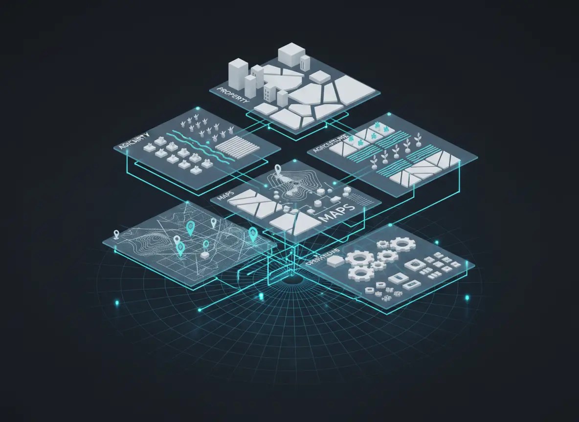
Modern minimal isometric illustration of interconnected data layers representing property, agriculture, maps and operations, floating panels connected by glowing cyan lines over a clean dark surface, geospatial territory grid, professional enterprise software aesthetic, no text
setembro 7, 2026
Deixe uma resposta